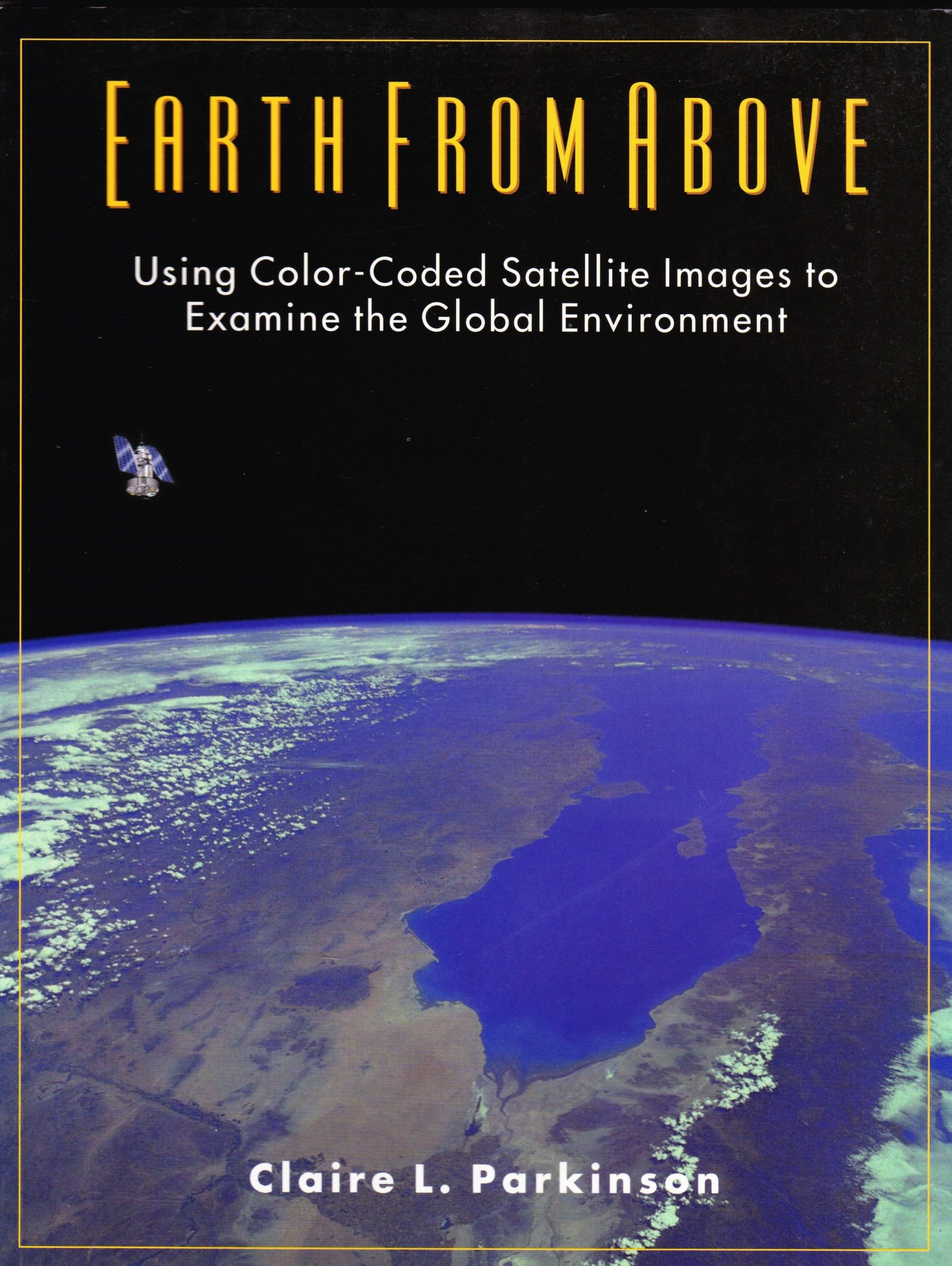
Earth from Above: Using Color-Coded Satellite Images to Examine the Global Environment
Earth from Above provides an easy introduction to understanding and interpreting satellite images, using illustrative examples to instruct on the fantastically informative new global data sets. Beginning with two short chapters on visible satellite images and radiation, the book then covers six key Earth-atmosphere variables on such environmentally important topics as the Antarctic ozone hole, El Nino, deforestation, the missing carbon dilemma, and the effects of sea ice, snow cover, and volcanoes on atmospheric temperatures. A final chapter broadens the discussion to consider satellite Earth observations in general.
Summary
Earth from Above provides an easy introduction to understanding and interpreting satellite images, using illustrative examples to instruct on the fantastically informative new global data sets. Beginning with two short chapters on visible satellite images and radiation, the book then covers six key Earth-atmosphere variables on such environmentally important topics as the Antarctic ozone hole, El Nino, deforestation, the missing carbon dilemma, and the effects of sea ice, snow cover, and volcanoes on atmospheric temperatures. A final chapter broadens the discussion to consider satellite Earth observations in general.
The book is heavily illustrated, including photographs, maps, schematic diagrams, and 50 color-coded satellite images. Each section concludes with a list of questions encouraging the reader to review the text and, in the case of sections with satellite image, to examine the images and find answers from them. Answers to all questions are provided at the back of the book.
Resources
Table of Contents
Preface
1. Introduction: Visible Images from Space
2. Radiation
3. Atmospheric Ozone and the Antarctic Ozone Hole
4. Polar Sea Ice
5. Continental Snow Cover
6. Sea Surface Temperatures and the El Nino
7. Land Vegetation
8. Volcanoes
9. Conclusions: Strength and Limitations of the Satellite Data
Reviews
“The text is filled with color plates that enhance the conceptual explanation of everything from ozone formation to photosynthesis…A fine work that I recommend to any adult wishing to engage in self-study about environmental issues and the process by which scientists have learned, and continue to learn, about our changing planet.”
-Science Books & Films
“The book is well written and filled with excellent illustrations and photographs. The satellite images are astounding. It provides the reader with the keys to understanding the theory and uses of satellite technology. The price is very reasonable and the quality is very good, so you cannot go wrong!”
-Northeastern Geology and Environmental Sciences
“Claire Parkinson has written an excellent introductory volume on interpreting satellite data about Earth…This small book is packed with information clearly and concisely presented. It will inform the interested layman or it could serve as a unifying text for a high-school or beginning college course on remote sensing. Even the experienced earth scientist will enjoy looking at the pictures.”
-Journal of Geoscience Education
“This fascinating and well written book would be a good resource for any number of projects: an Earth Science class studying volcanoes, a planetarium program discussing satellites, or a National Science and Technology week lecture about sea ice in the Antarctic.”
-Planetarian
“The publisher has done a superb job producing a visually appealing book that will not scare off the scientifically timid reader. Most graphics are in full color and the text is laid out in an easy to read format.”
-HGS Book Review
“This book is a “must read” for non-specialists wishing to use satellite imagery to explore the Earth system.”
-Professor Ellen Mosley-Thompson, The Ohio State University
“This book does an outstanding job of explaining satellite technology and its scientific applications. The many colorful examples and review questions will stimulate the reader’s scientific understanding and will promote a broader appreciation of the contributions of satellites to earth science.”
-Professor John Walsh, University of Illinois
“Written simply and clearly with numerous color figures that not only illustrate but also inform, this work excels in introducing the subject and will serve undergraduates ably.”
-Choice
“This book provides a wonderfully illustrated and balanced introduction to global processes, satellite observations and the use of color imagery to help students of Earth System Science examine and better understand our environment.”
-Martin Ruzek, Universities Space Research Association